Description of Toll Calculator - Truck RV Car US Canada GPS Maps
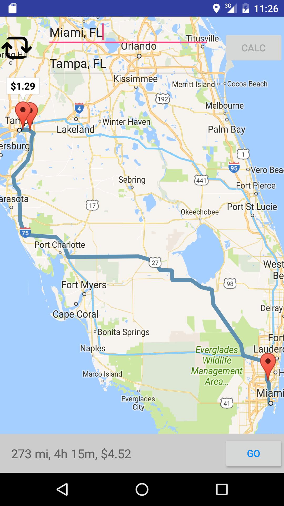
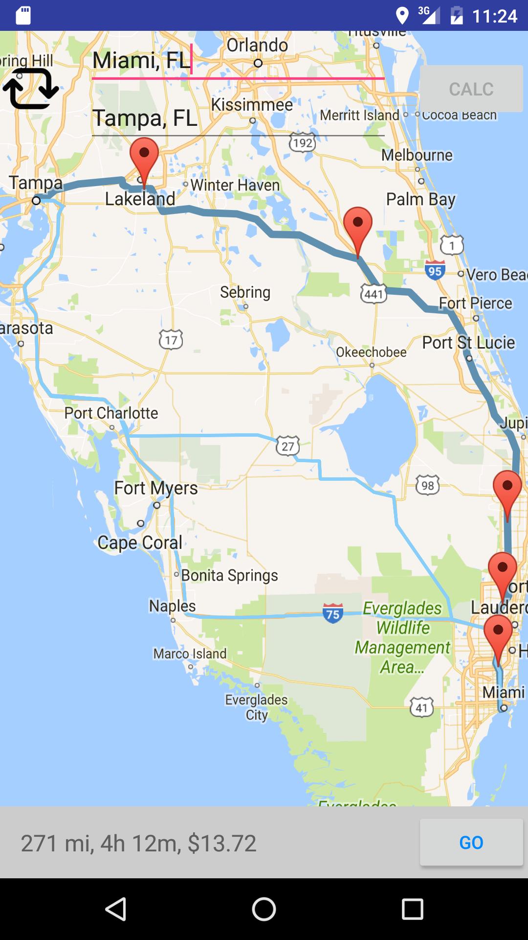
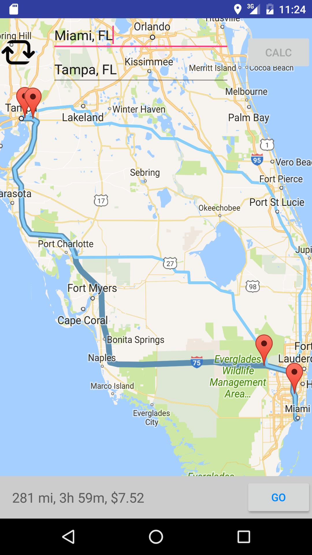
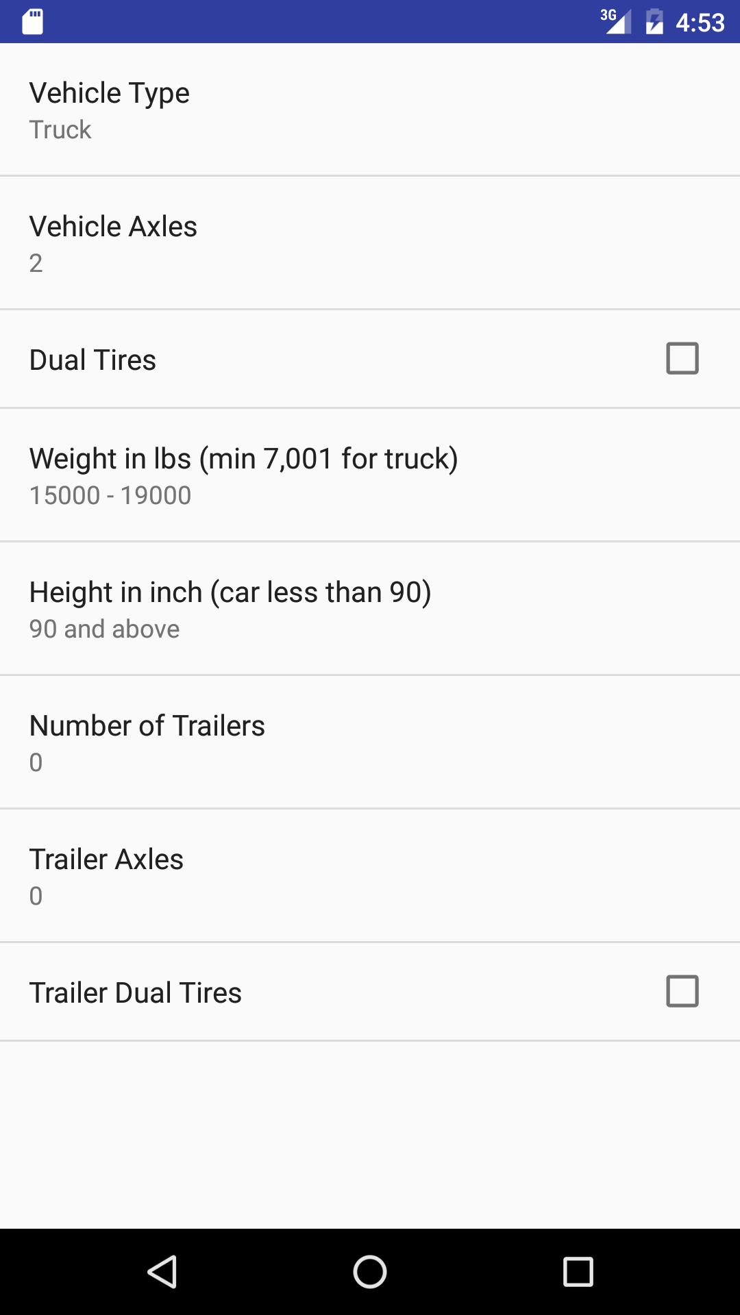
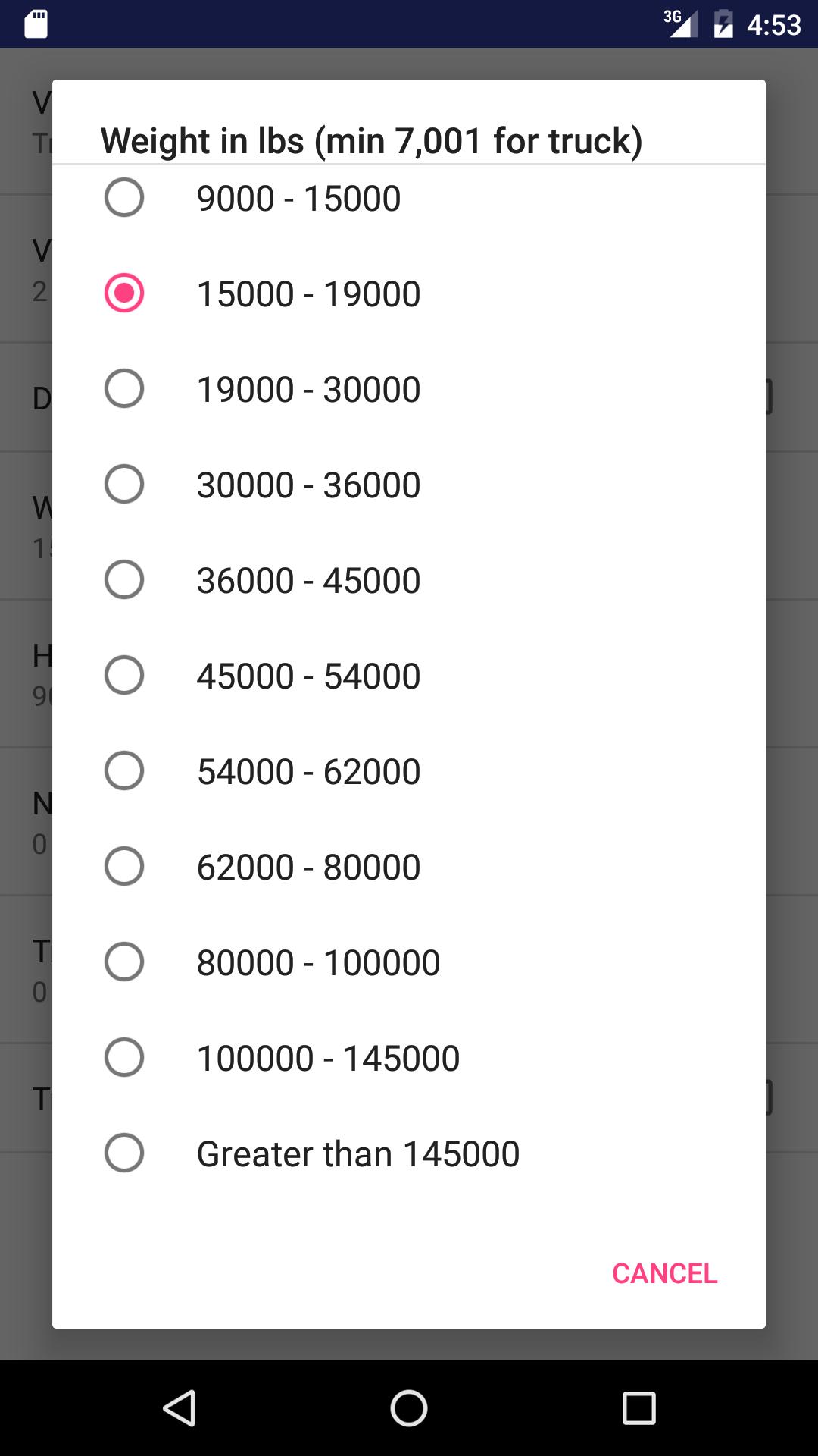
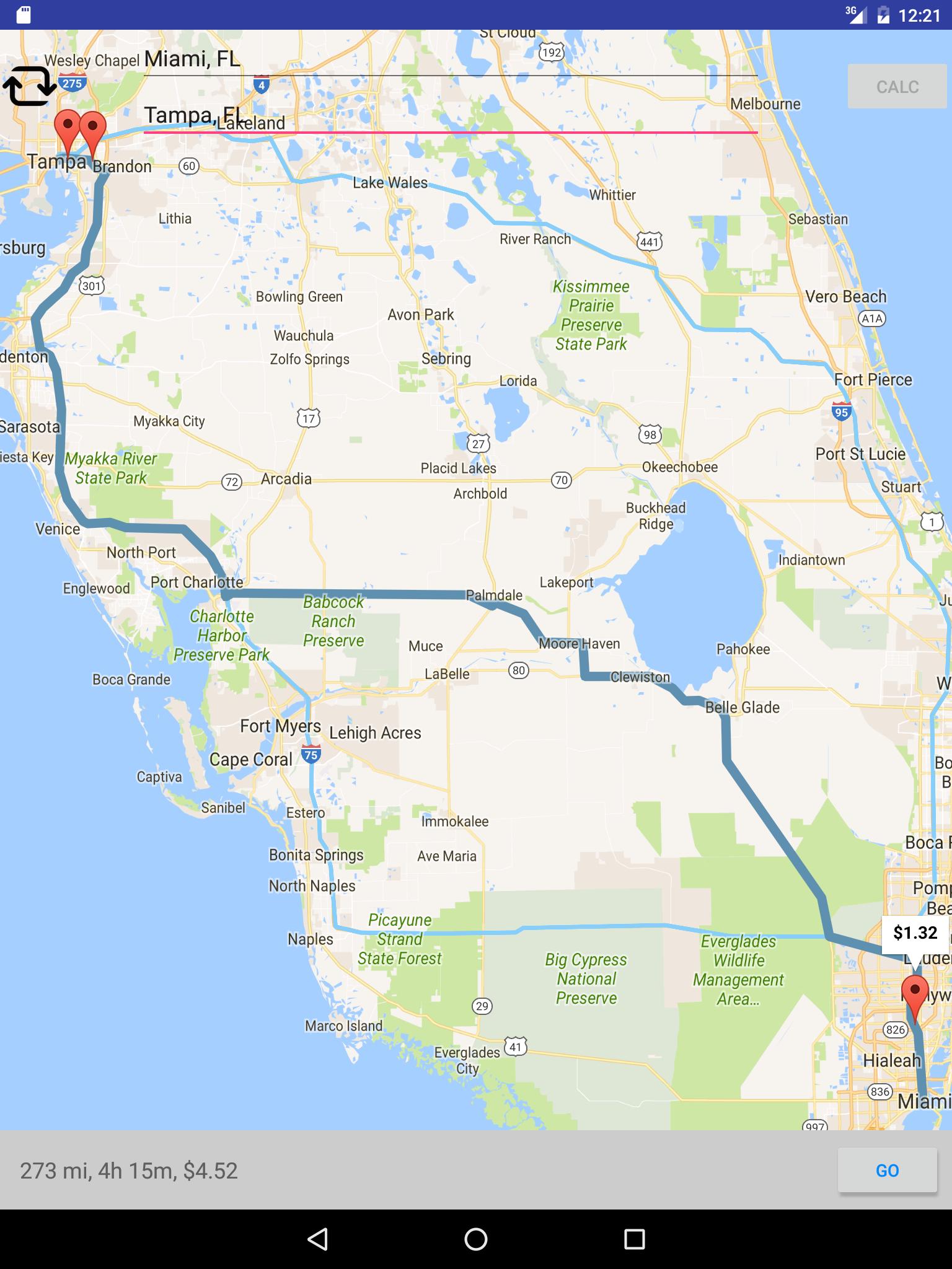
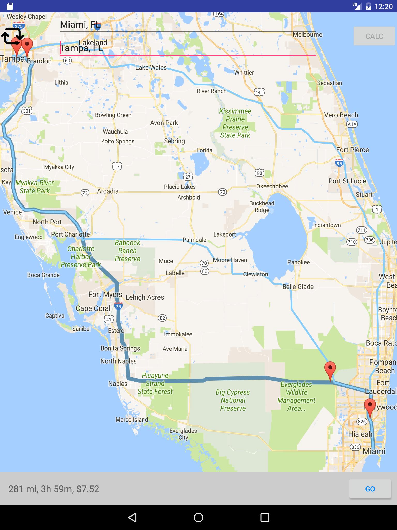
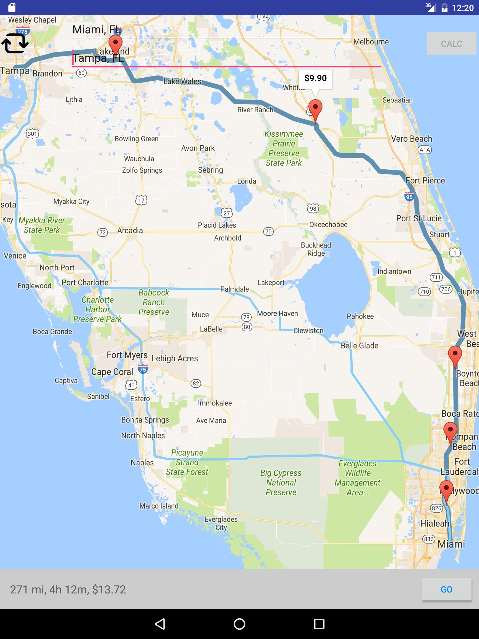
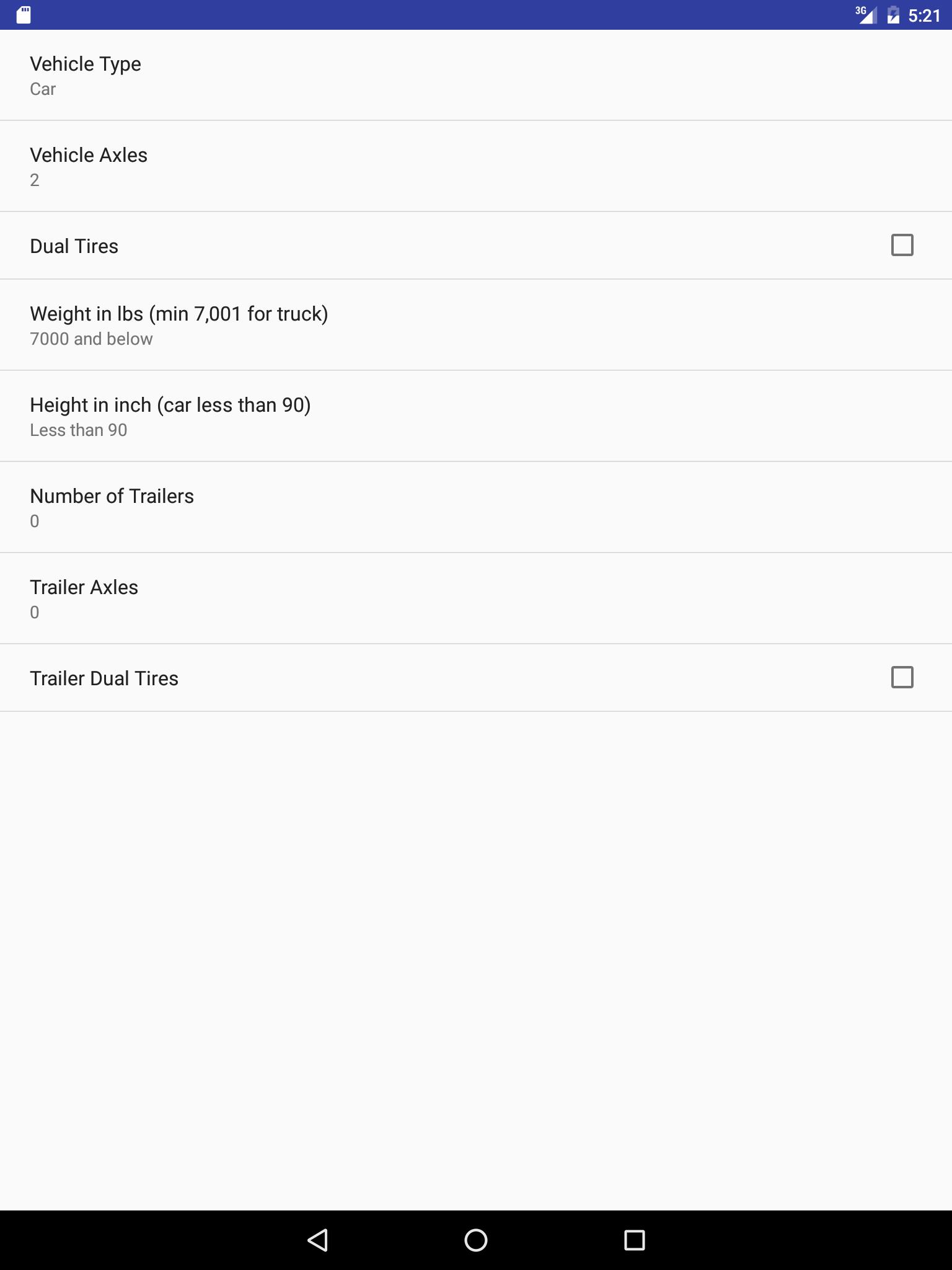
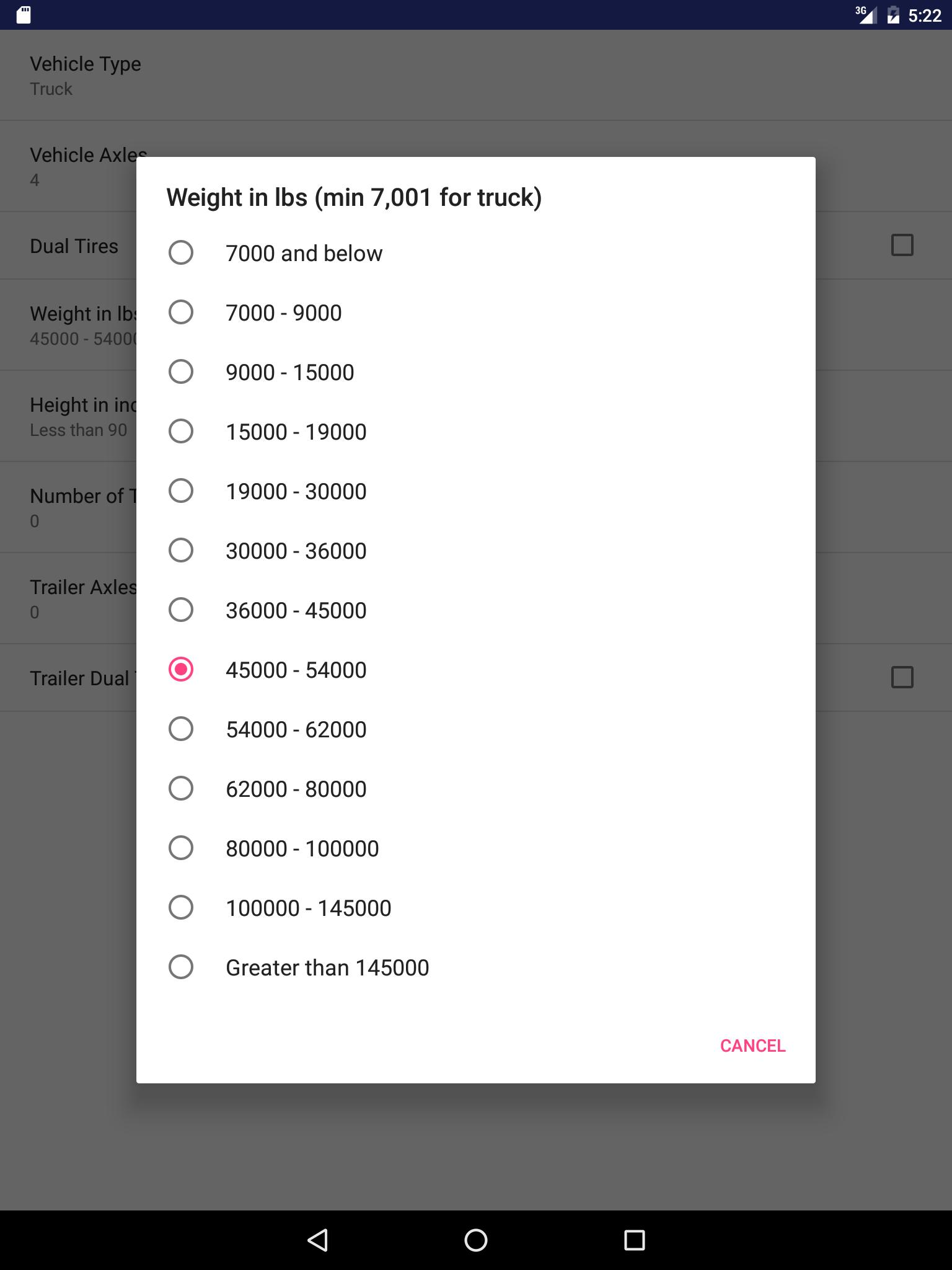
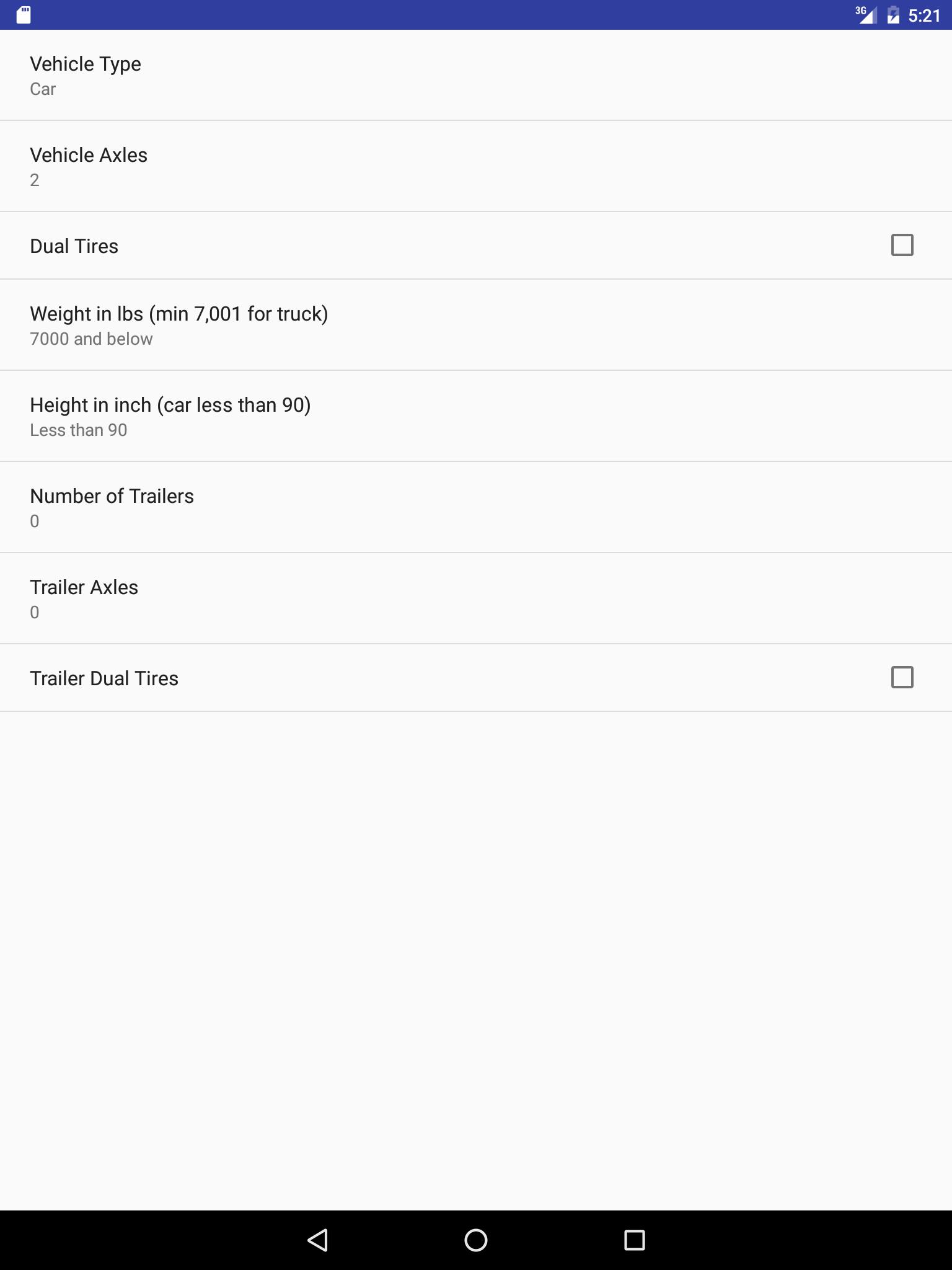
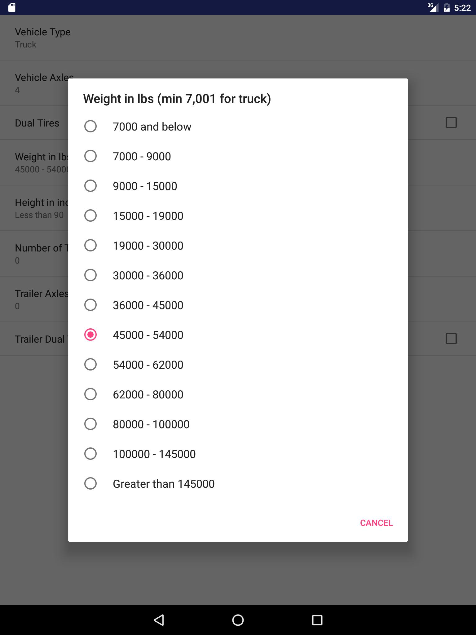
Accuracy! Accuracy! Accuracy! We factor in weight, height, trailer, axle, dual tire, payment type and more to give you the accurate toll rate. This app is designed specifically to help truckers save toll fees. Provide two addresses, this app will calculate toll costs for up to three routes. Currently support toll roads in US and Canada only. Below are a few features:
1. Designed specifically for trucker to input details truck info (weight, height, axle, trailer, dual tires...) so we can ACCURATELY calculate tolls.
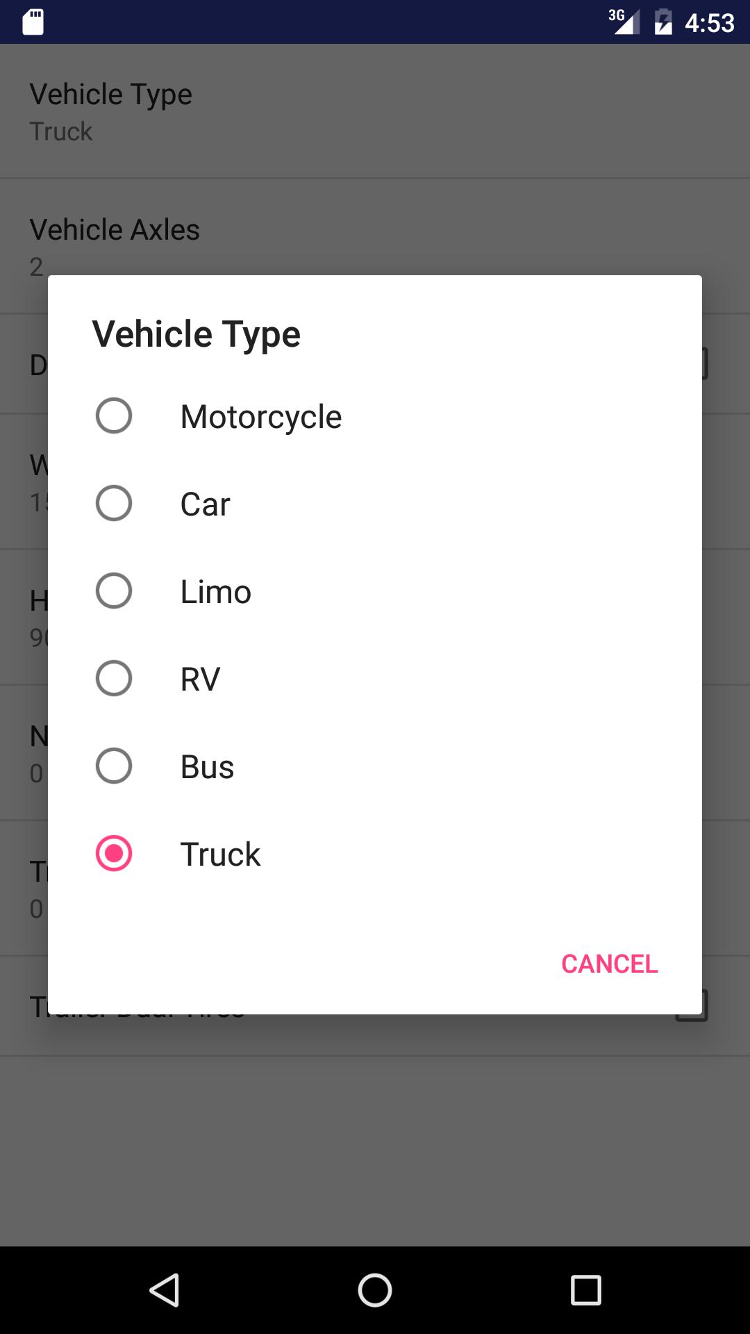
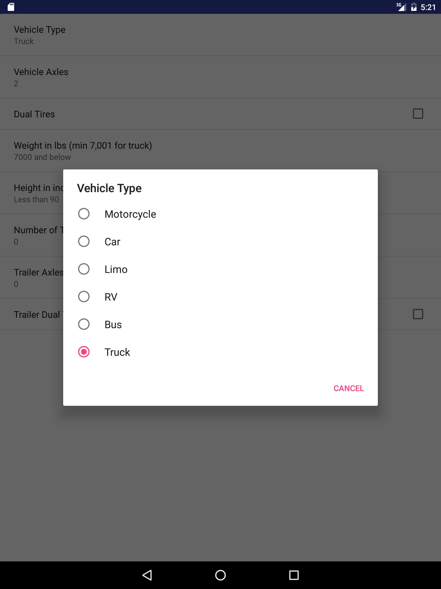
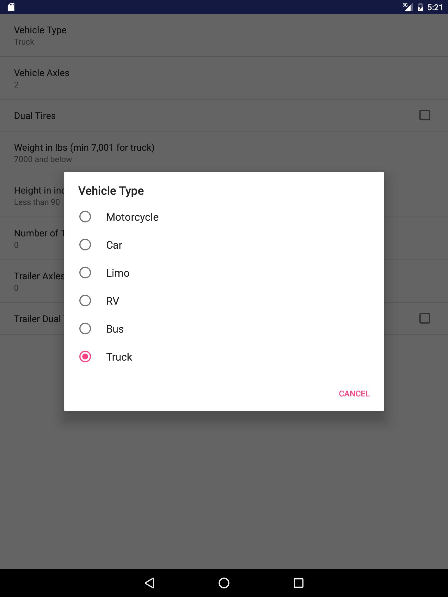
2. Support truck up to 9-axle and other vehicles including bus, RV, motorcycle, and car.
3. We cover ALL toll roads / turnpikes in United States and Canada including New York, NJ, PA, VA, MA, DC, 407 ETR...
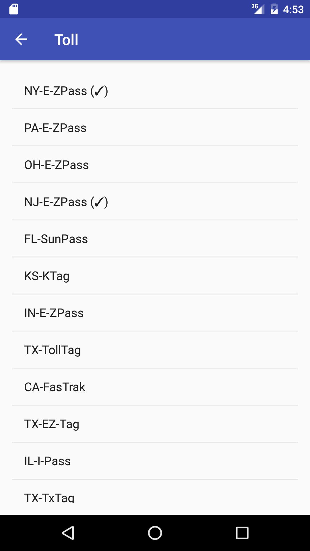
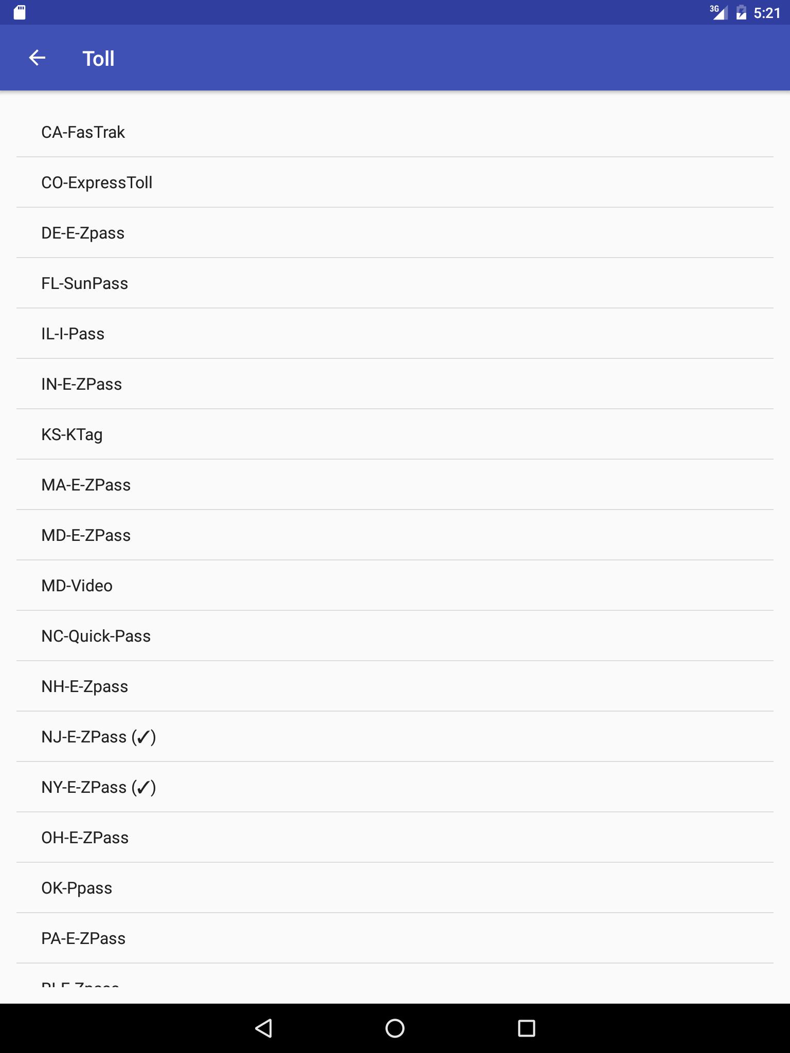
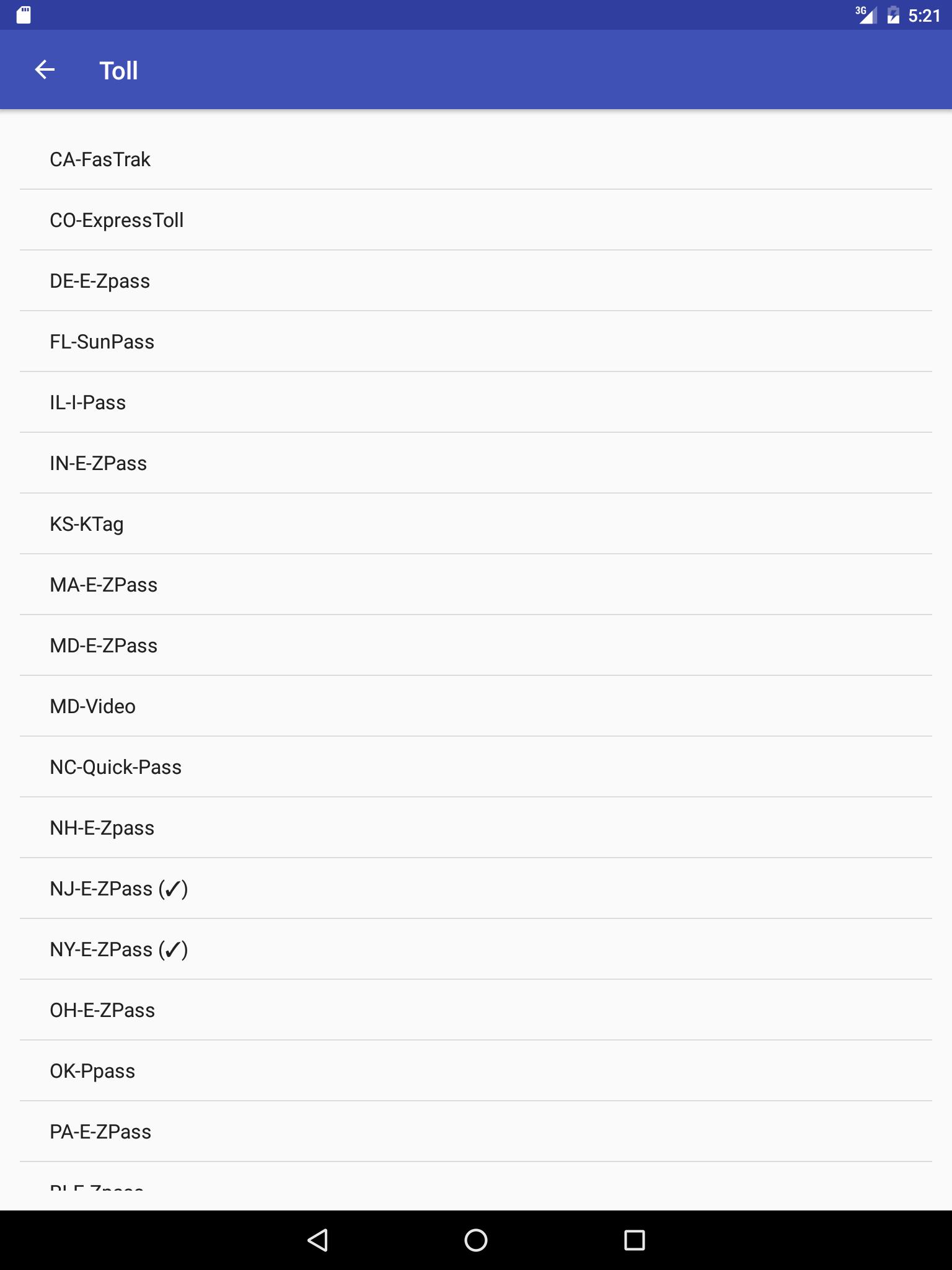
4. Calculate toll fee based on different payment methods/transponders such as cash, Florida Sunpass, E-ZPass, FasTrak, ExpressToll, KTag, Quick Pass, PPass, PalPass, EZ-Tag, TollTag, TxTag and so on.
5. Allow you to choose different time slot to see different toll for time based toll road.
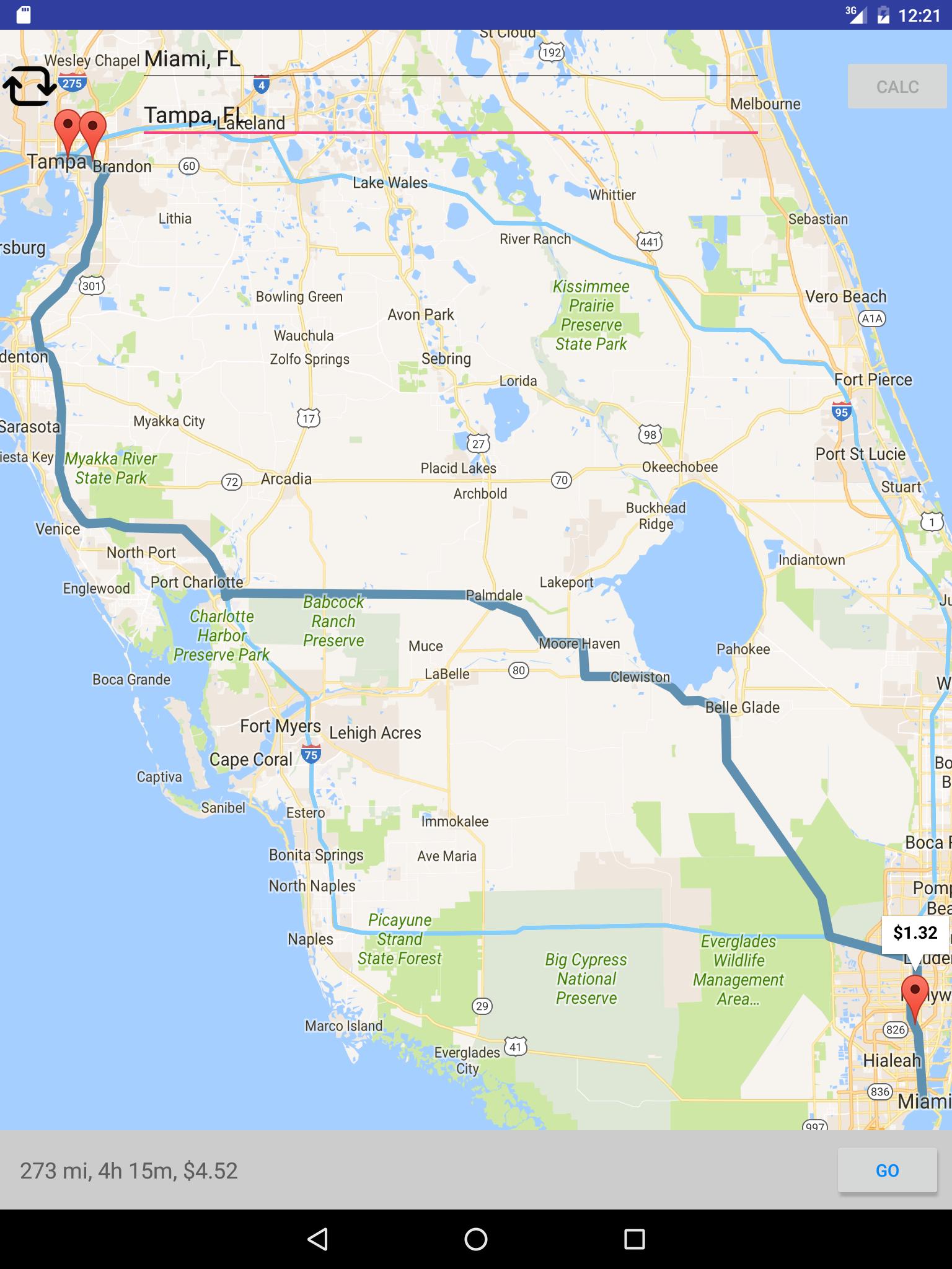
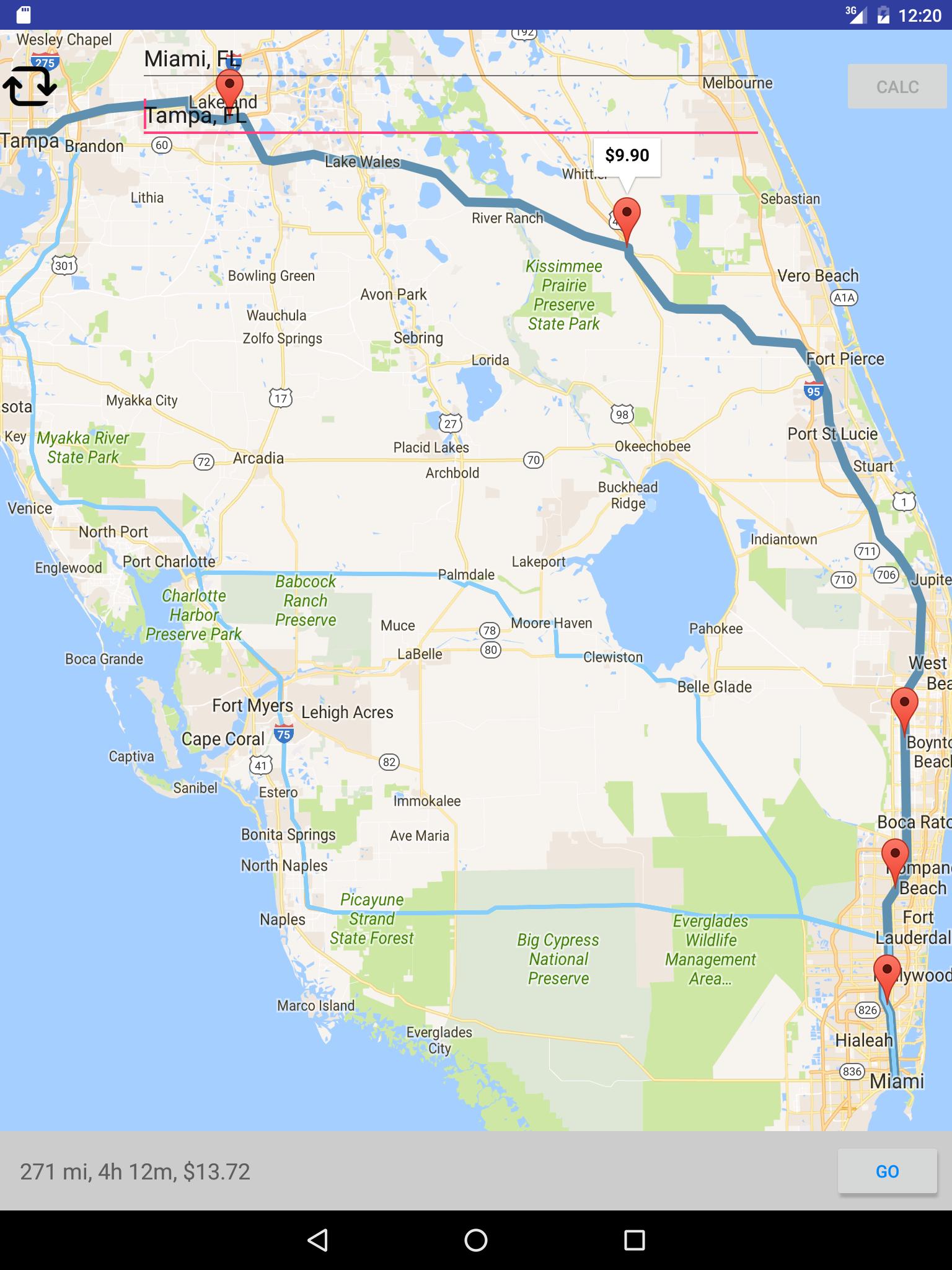
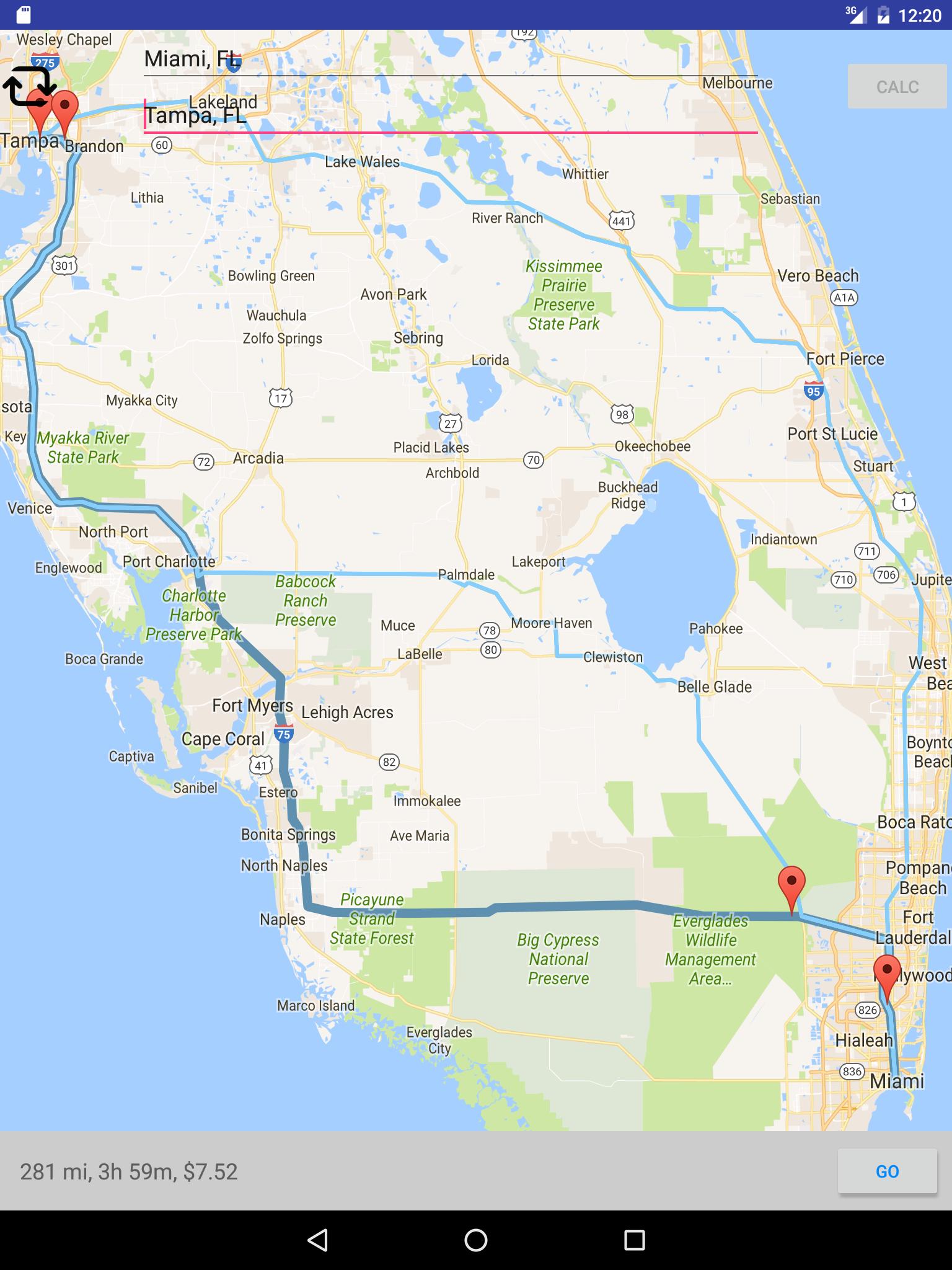
6. Show distances, travel time, and toll booths for each route on the map.
7. Option to calculate route from current location using GPS.
8. Send the route information to Google map app for navigation.
9. Advisory Notice feature. For some routes, you will see some warnings like "car only bridge" or "E-ZPass only".
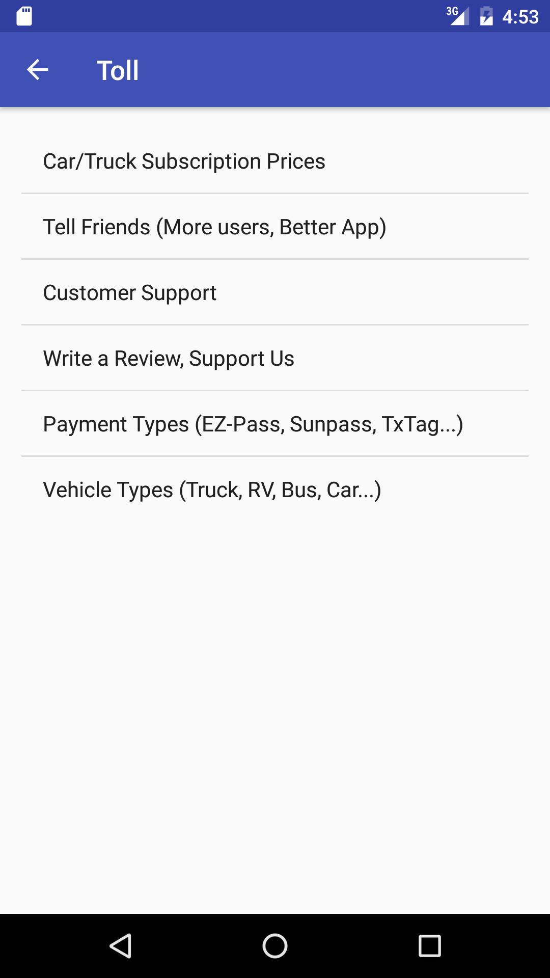
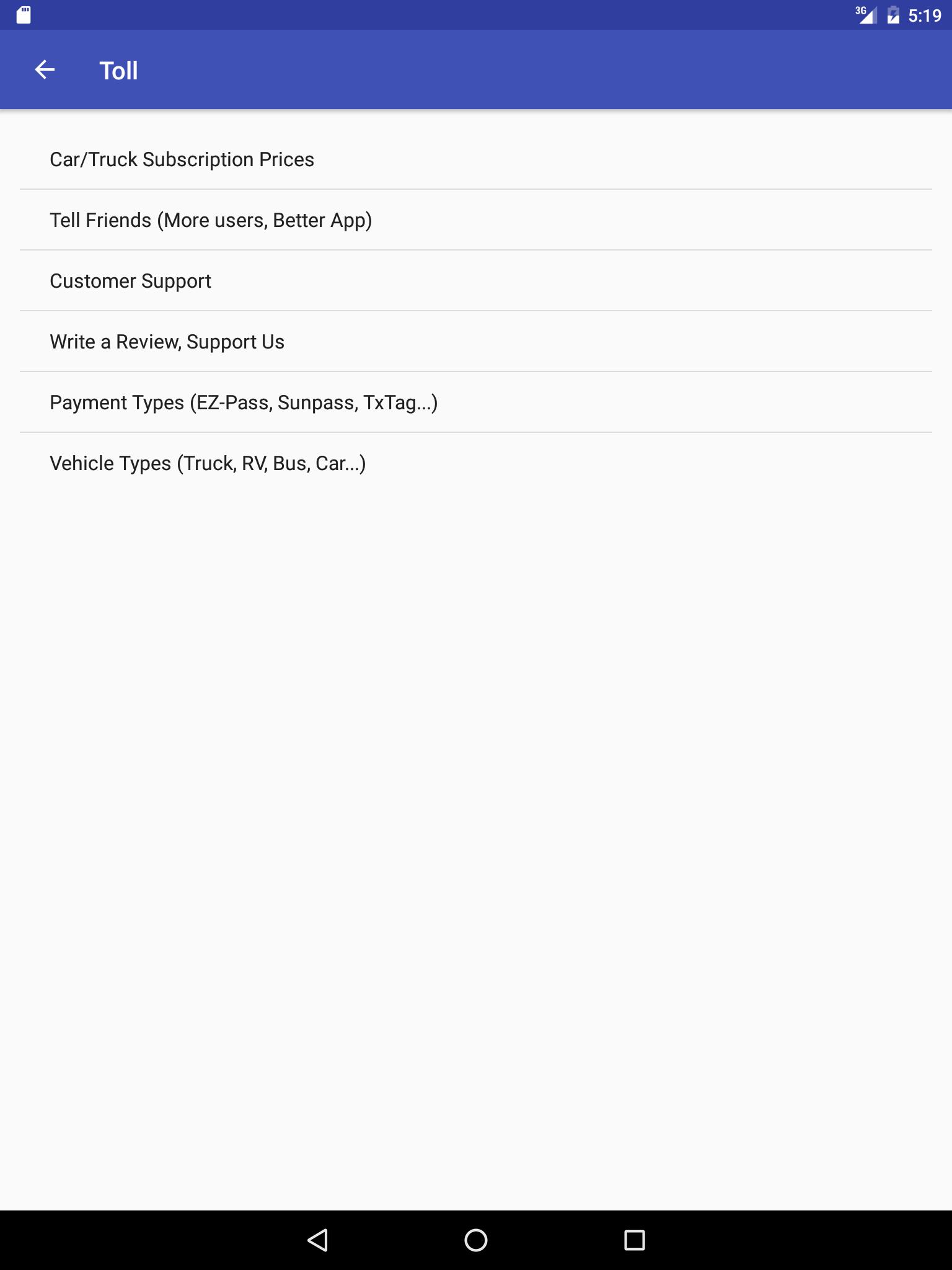
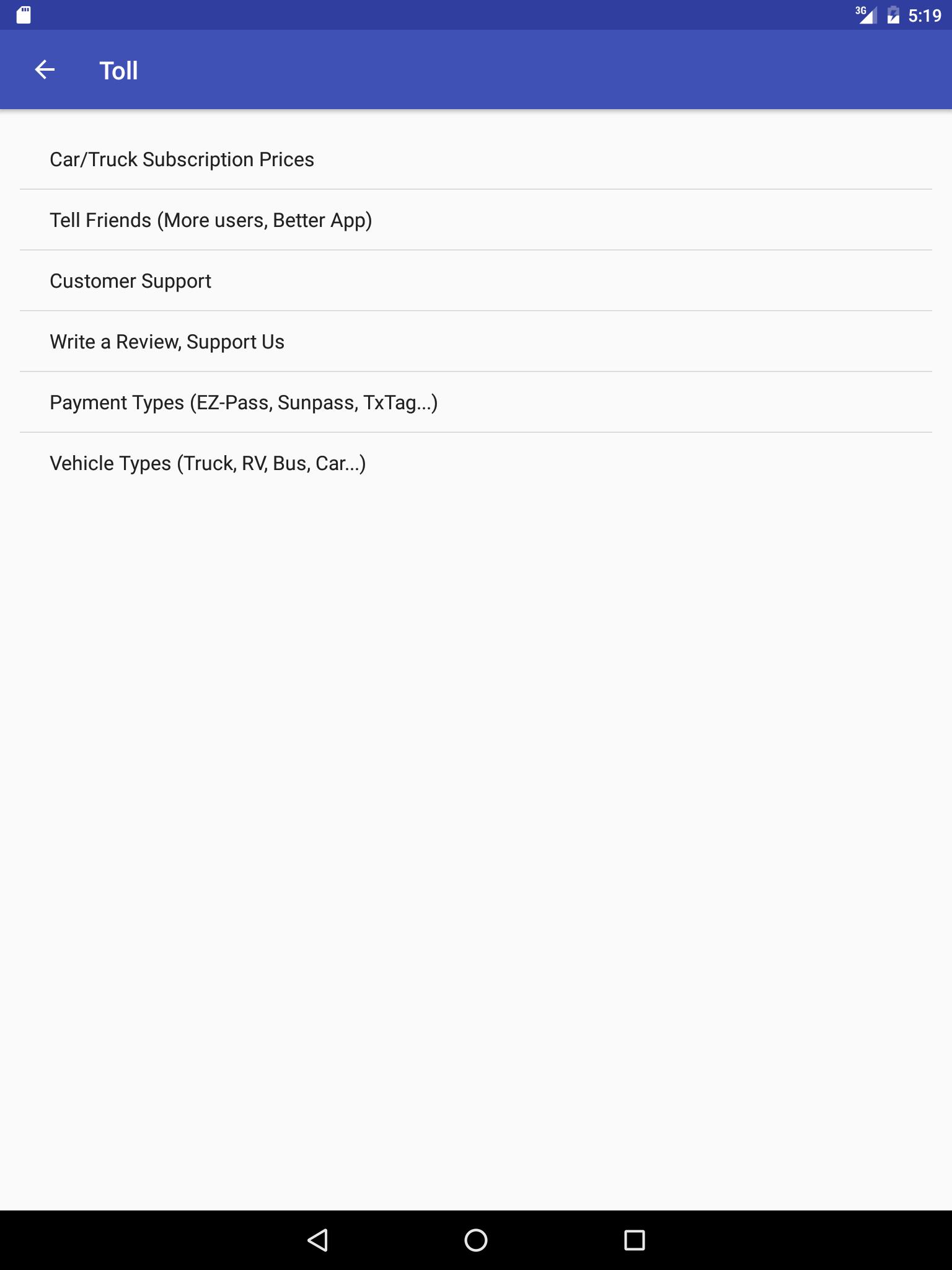
We charge truck subscription much more than car because truck features are complicated, require much more data, and have fewer users. There are so many truck classifications and they vary from state to state. Thanks for your understanding.
Disclaimer: All routes in this app are provided by Google Map for automobile use. The routes might use parkways, bridges, and tunnels that are NOT suitable for truck, bus and RV.
Additional Information

