APKs
Split APK — use Split APKs Installer (SAI) to install.
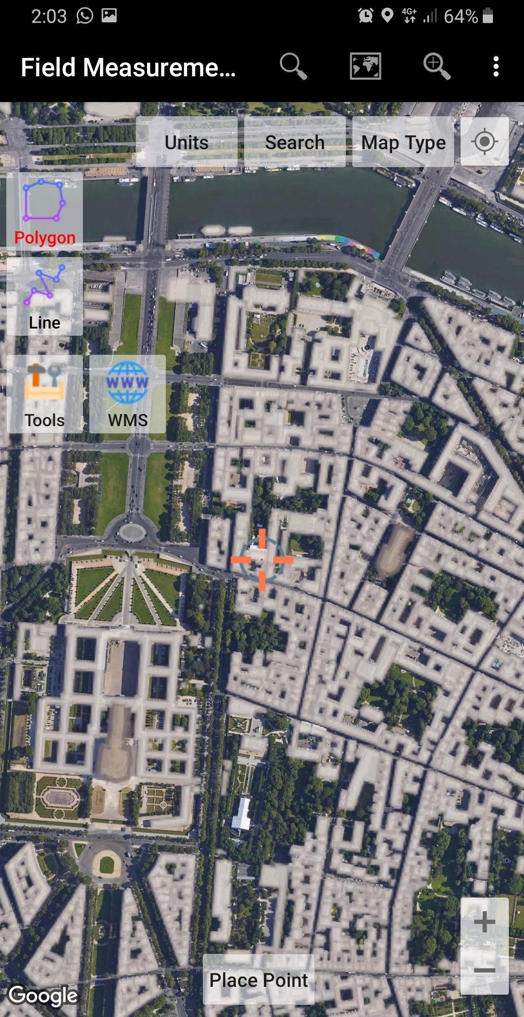
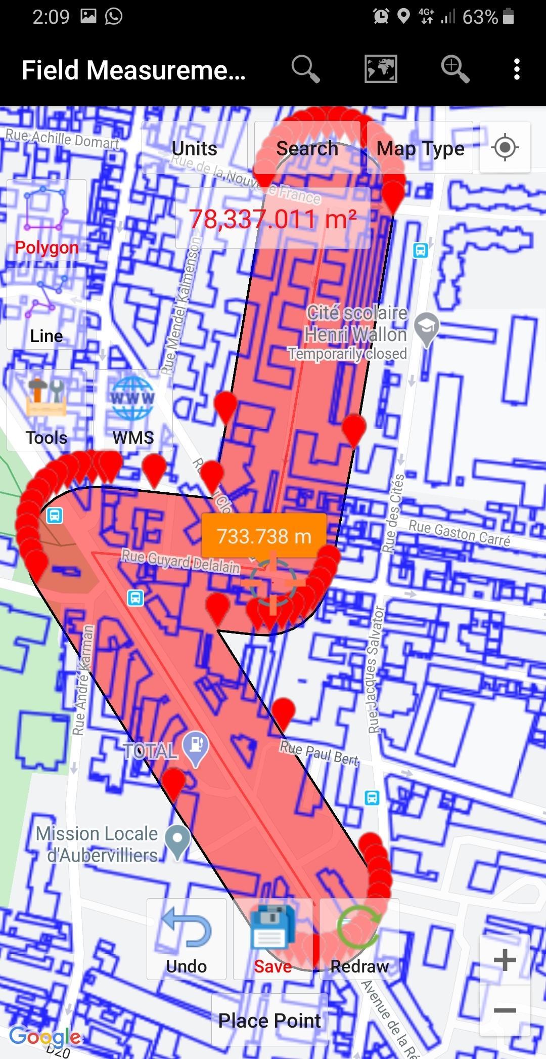
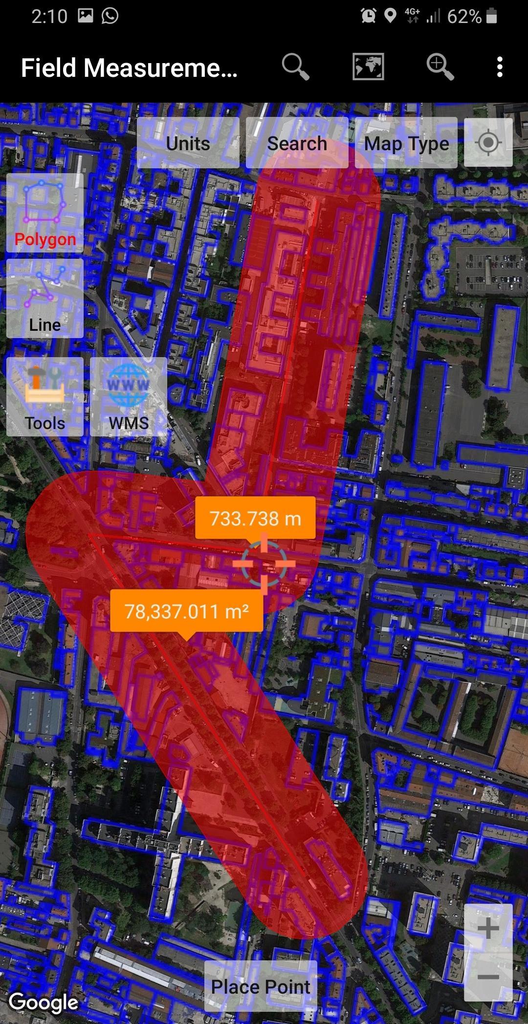
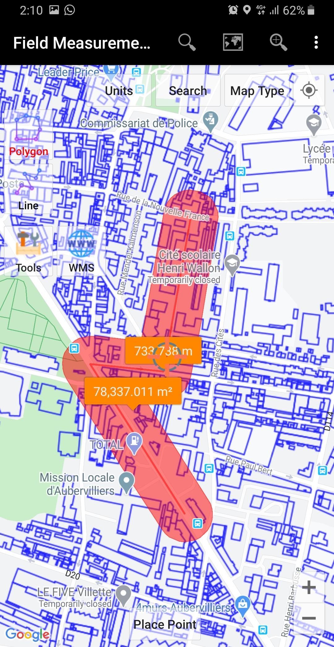
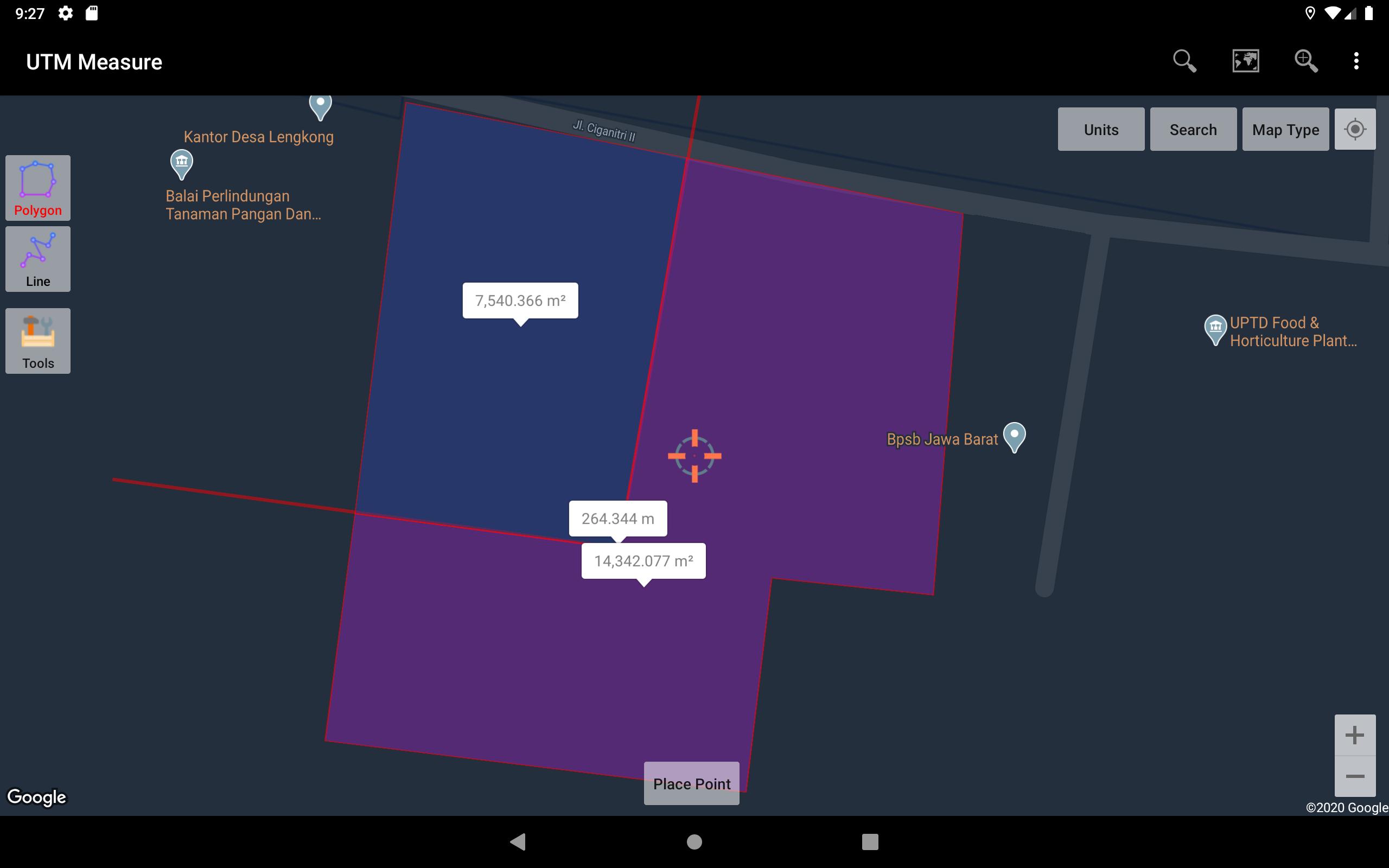
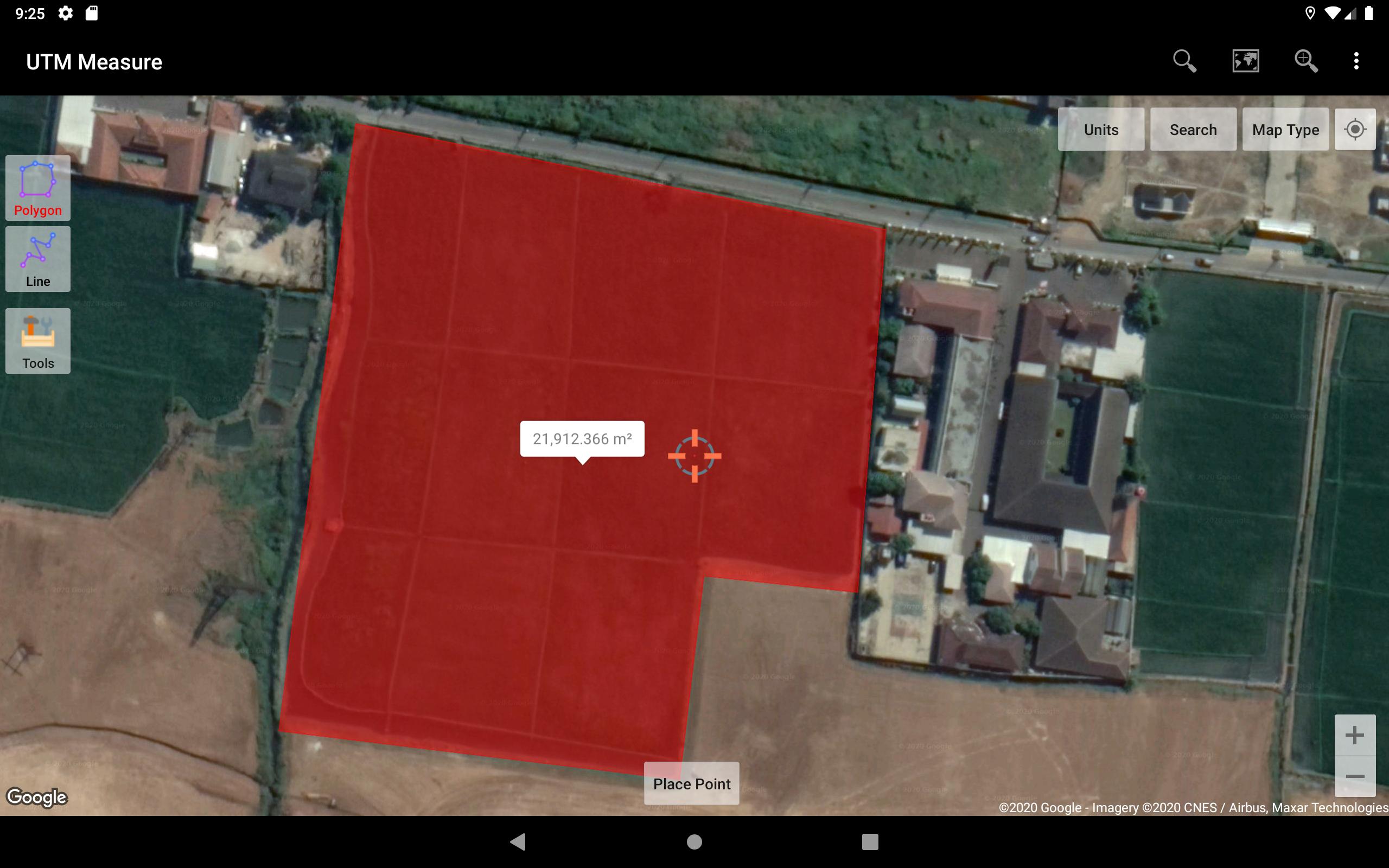
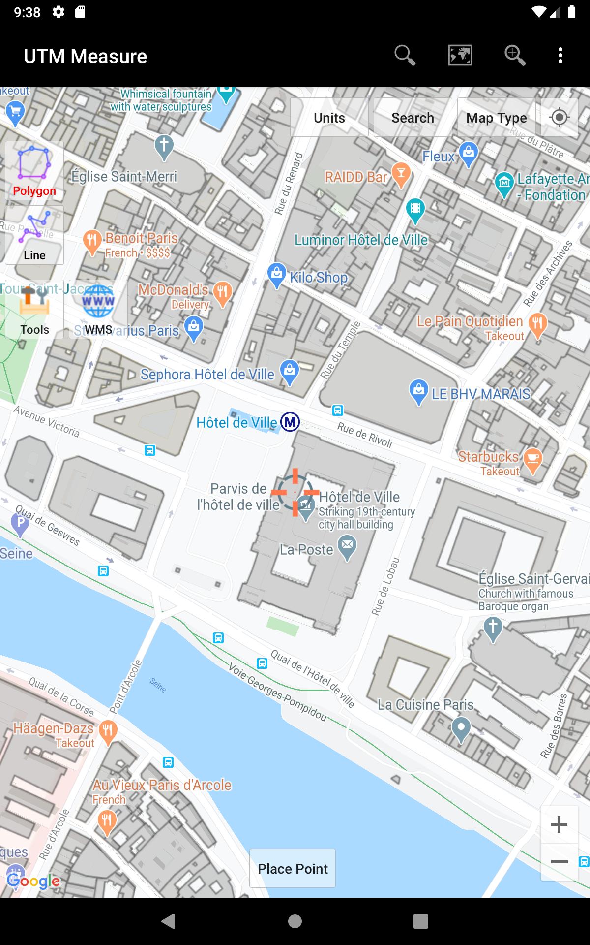
About UTM Measure GPS Field & Area Measurements
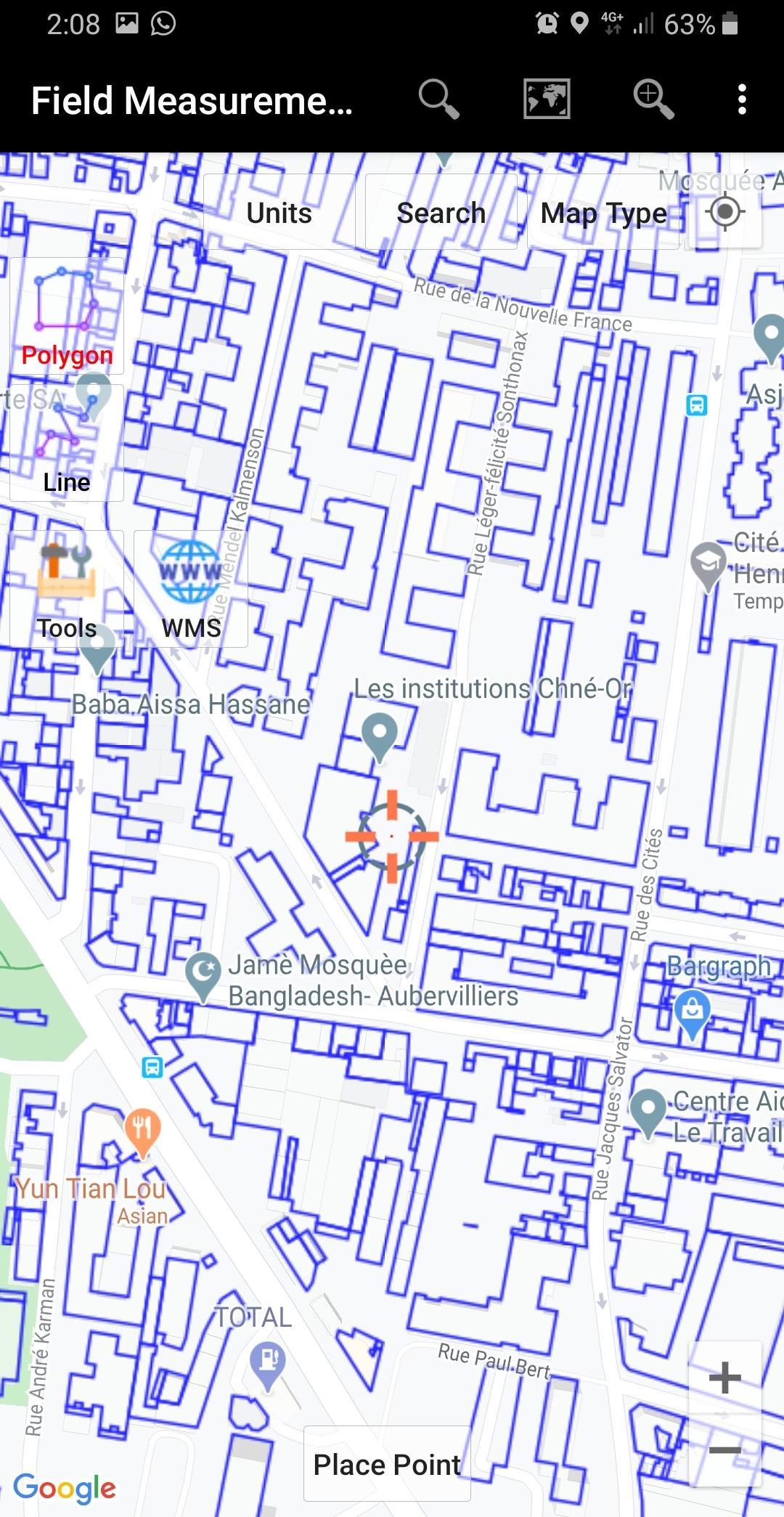
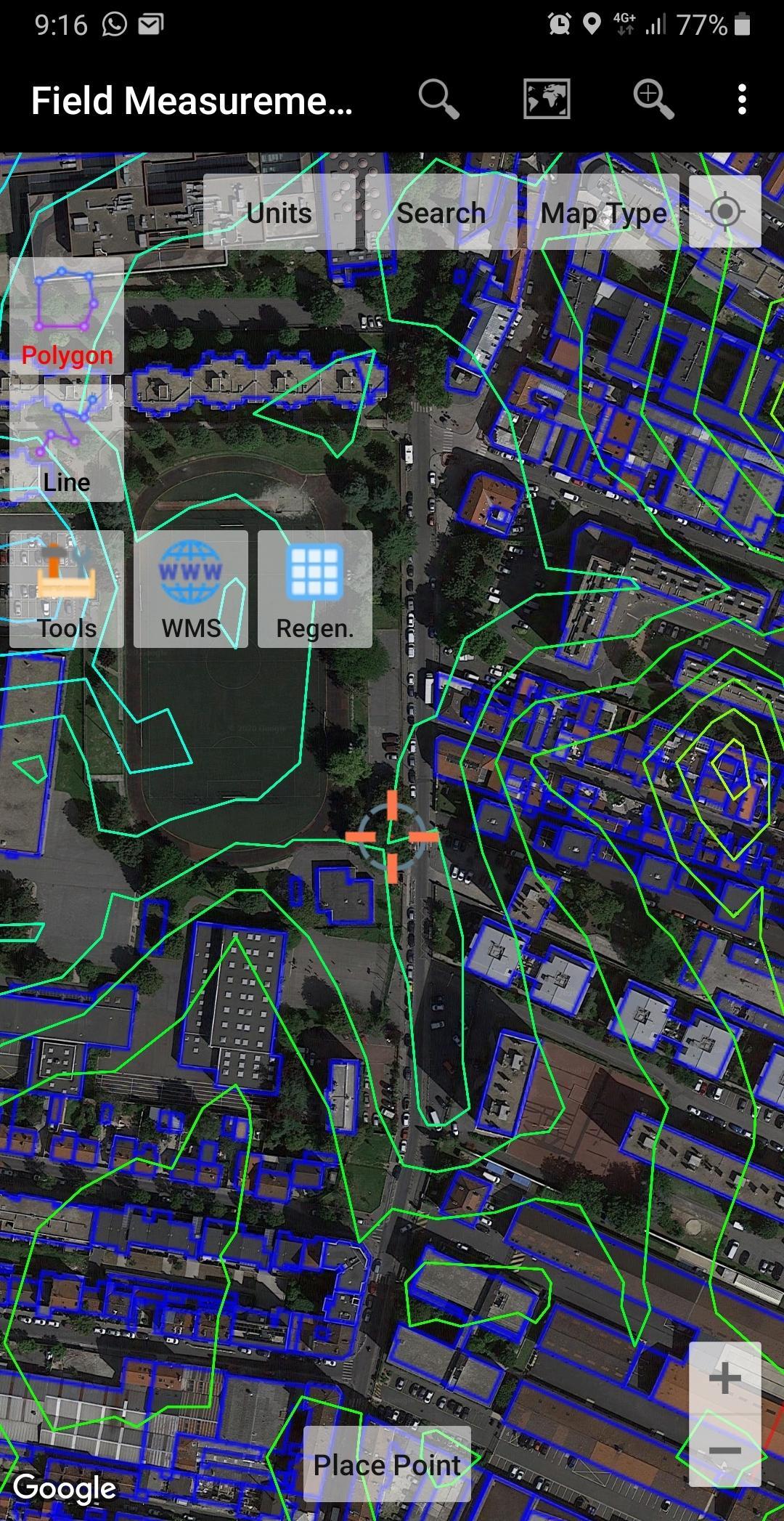
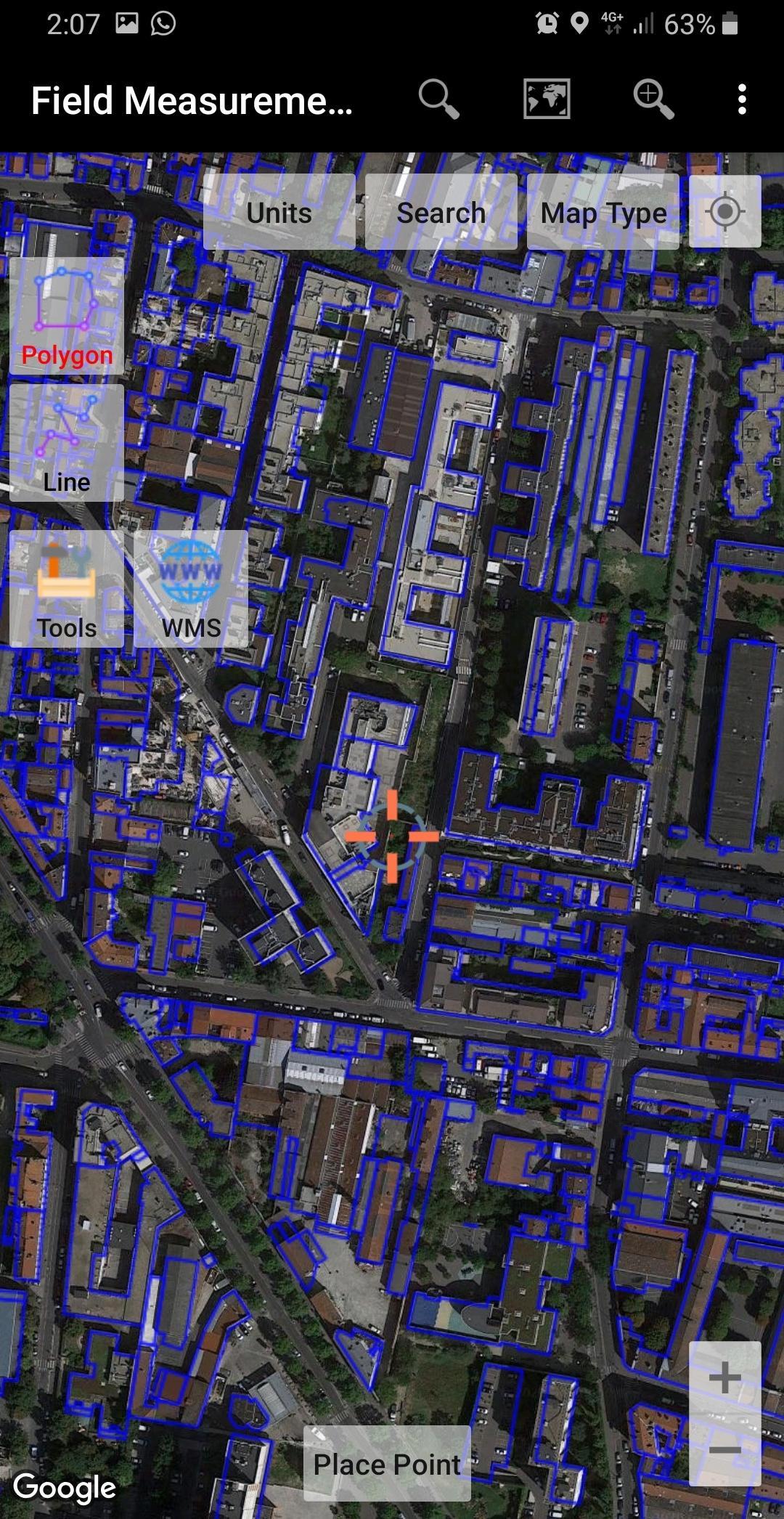
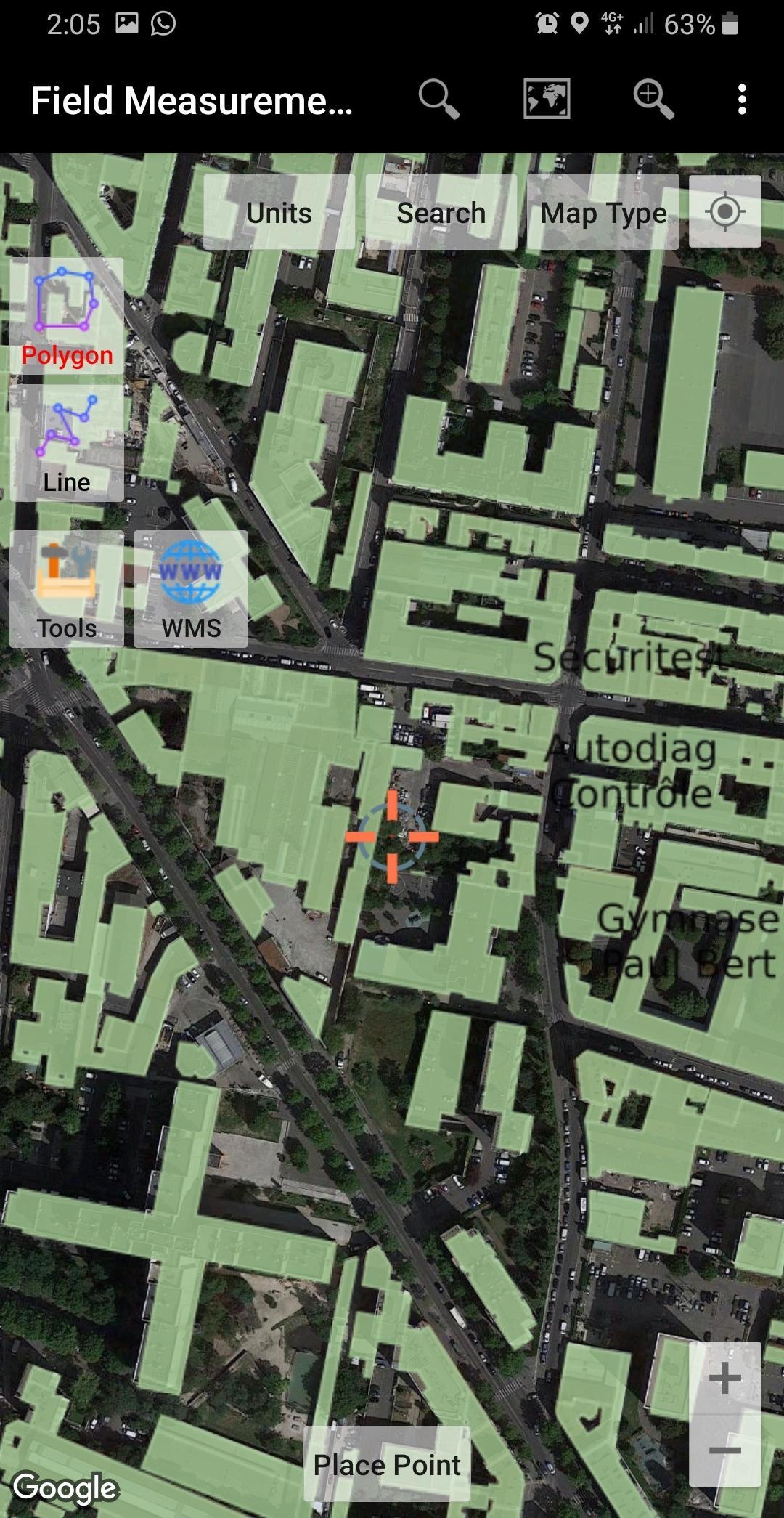
Measure area and distance, register points, lines and polygons from Satellite Imagery map data or GPS data, perform simple spatial analyzes such as overlays, buffering etc.
Equipped with sophisticated spatial drawing & editing tools such as snap nearest, cutting / dividing polygons with lines, smoothing, reducing vertices using Douglas Peucker's algorithm, editing vertices of lines / polygons, combining 2 lines / joints, turning lines into polygons, polygons into lines etc. .
Make a contour line (premium).
Store unlimited amount of data in your local database including feature name information, photos, labels / notes, etc.
Export your data to KML, DXF or CSV files.
Working with Coordinate Reference Systems around the world from Minna Datum (Nigeria) to TM-3 (Indonesia), plot your polygons on a map based on coordinate data from various local CRS using EPSG Code.
Supports WMS (Map Server).
Any suggestions are welcome, please send via email to yogantarayogi@gmail.com or write a review. thanks.
Additional Information
Category
App › Maps & Navigation
Version
1.3.5
Updated
2021-02-04
Requires
Android 14+
Estimated Download Time
File Size: 3.84 MB
3G network (~2 Mbps)
19 seconds
4G LTE (~25 Mbps)
2 seconds
5G network (~150 Mbps)
1 seconds
Broadband / Wi-Fi (~100 Mbps)
1 seconds
Available On
Old Versions of UTM Measure GPS Field & Area Measurements
View All (1)Similar to UTM Measure GPS Field & Area Measurements
Top Ten Apps
SAX Girls Video Call - Live Video Chat
X Comic : Yote Pya , Free MM Sub Comics
Ola Party Live, Chat, Game & Party
Generator Togel 2D,3D,4D Terbaru 2020
XNX Quit Porn addiction Video Guide
အပြာကား(ခလေးမကြည့်ရ)
Apyar Comics - အပြာရုပ်ပြစာအုပ်များ
СберБанк
4K Screen Recorder with facecam and 1080p 120fps
Suaraku Nyanyikan Berbagai Lagu Karaoke Gratis